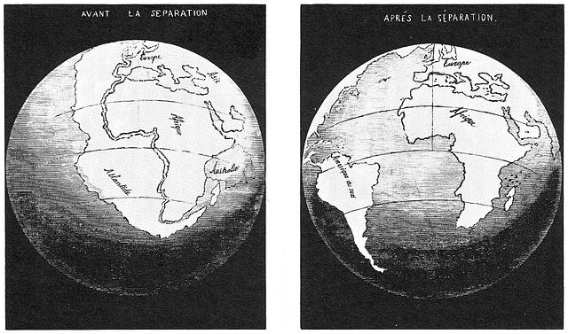
Snider-Pellegrini’s map showing the continental fit and separation, 1858.
Public Domain, Antonio Snider-Pellegrini, La Création et ses mystères dévoilés, 1858.
Snider-Pellegrini’s map showing the continental fit and separation, 1858.
Public Domain, Antonio Snider-Pellegrini, La Création et ses mystères dévoilés, 1858.