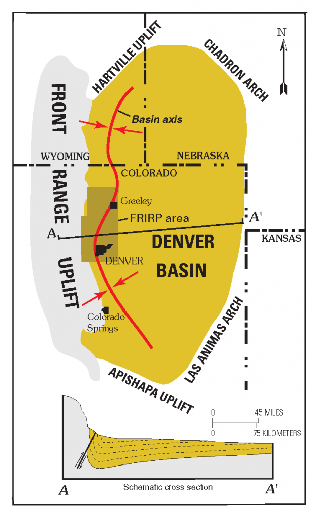
The Denver Basin is an active sedimentary basin at the eastern extent of the Rocky Mountains. As sediment accumulates, the basin subsides, creating a basin-shape of beds that are all dipping towards the center of the basin.
By Daniel H. Knepper, Jr. (editor), US Geological Survey (http://pubs.usgs.gov/circ/c1219/) [Public domain], via Wikimedia Commons https://commons.wikimedia.org/wiki/File:Denver_Basin_Location_Map.png